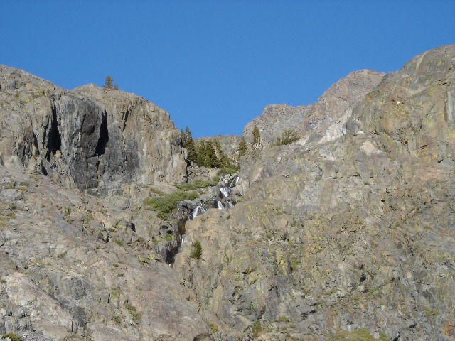
The highest visible bits of the glacier-fed infant NFSJ. Our vantage point is in the uppermost NFSJ basin that we hiked to, looking east. We climbed up and west from that basin, to get to the lower (northern) of the two Twin Island Lakes. In contrast to what the maps seemed to indicate, the trail is gone (not just "indistinct") by the time you cross the NFSJ. In order to head towards the Twin Island Lakes, you want to climb the very leftmost (western) edge of that basin.